WWII Imperial Japanese Navy Operation Map China Taiwan Manchuria 1939 Battle
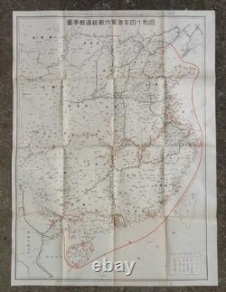
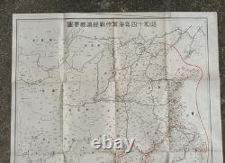
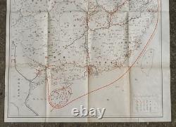
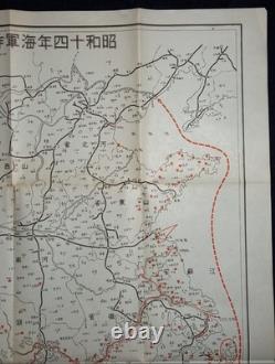
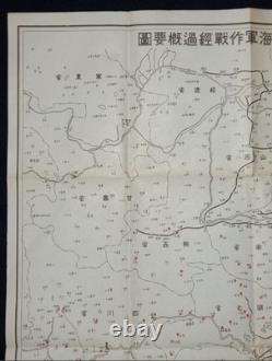
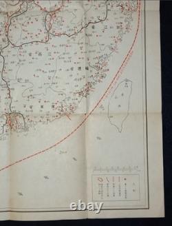
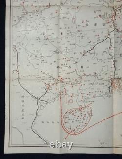


Step into history with this rare original 1939 Imperial Japanese Navy operations map, showing naval actions across China, Manchuria, and Taiwan during the early years of WWII. This is an authentic military map from Showa 14 (1939), issued by the Imperial Japanese Navy. It details the strategic locations, routes, and bases used during major operations across mainland China, Manchuria, and Taiwan. The map size is approximately 63cm x 46.5cm (about 24.8 x 18.3 inches). When and where was it used? The map covers military operations from the late 1930s, a time when the Japanese Navy was deeply involved in conflicts across East Asia-before the Pacific War escalated globally. It highlights port cities, naval bases, and invasion routes, reflecting the Navy's ambition at the peak of Japan's expansion. Such maps were distributed to naval officers, strategists, and staff involved in planning and executing campaigns. It was never meant for the public, making surviving examples extremely rare today. Historical artifact: A direct witness to the events that shaped modern Asia.
Educational value: Perfect for collectors, researchers, and educators wanting to visualize WWII strategy from the Japanese perspective. Unique detail: Shows not only famous ports but also lesser-known bases, supply points, and logistical routes, often lost to history. Own a Piece of History. If you're passionate about military history, naval operations, or Asian history, this map is a rare opportunity to add an authentic, tangible story to your collection.
International Buyers - Please Note. Thank you for your understanding.

